The short answer
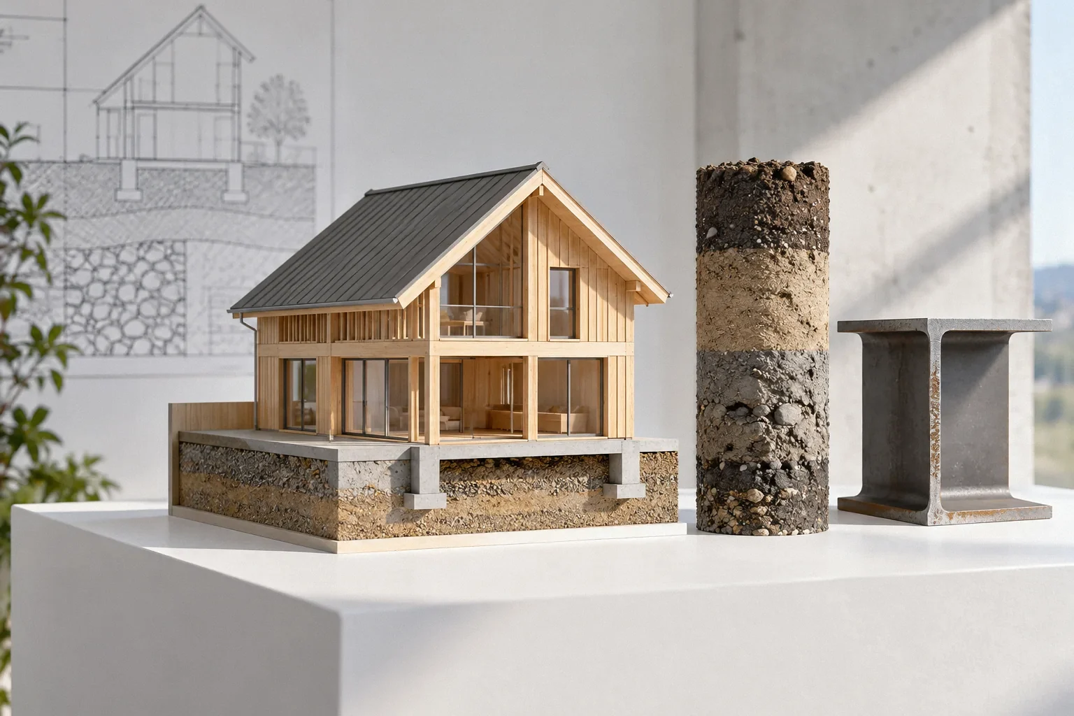
A soil report is useful only when its investigation and recommendations fit the property and proposed work. Maps provide regional context; borings and laboratory tests describe sampled conditions; engineering recommendations interpret that evidence for stated assumptions. Check the report’s location, purpose, date, exploration limits and foundation loads before applying its conclusions. A neighbor’s report can inform questions, but it does not automatically characterize your site.
US general planning; California details labeled where relevant
Read the purpose before reading the recommendations
A report prepared for a roadway, an adjacent development or an earlier version of a house may answer a different question from your current repair. Begin with the project description, location and intended scope. Identify whether the author evaluated the existing foundation problem or provided recommendations for proposed construction. Those are related but not interchangeable tasks.
Then compare the stated assumptions with the work now being considered. A change in building loads, foundation concept or affected area may require the geotechnical professional to revisit the recommendations. Do not extract a convenient bearing value from the final pages before confirming that the investigation and design assumptions apply to the actual project.
Use soil maps as context, not as a parcel investigation
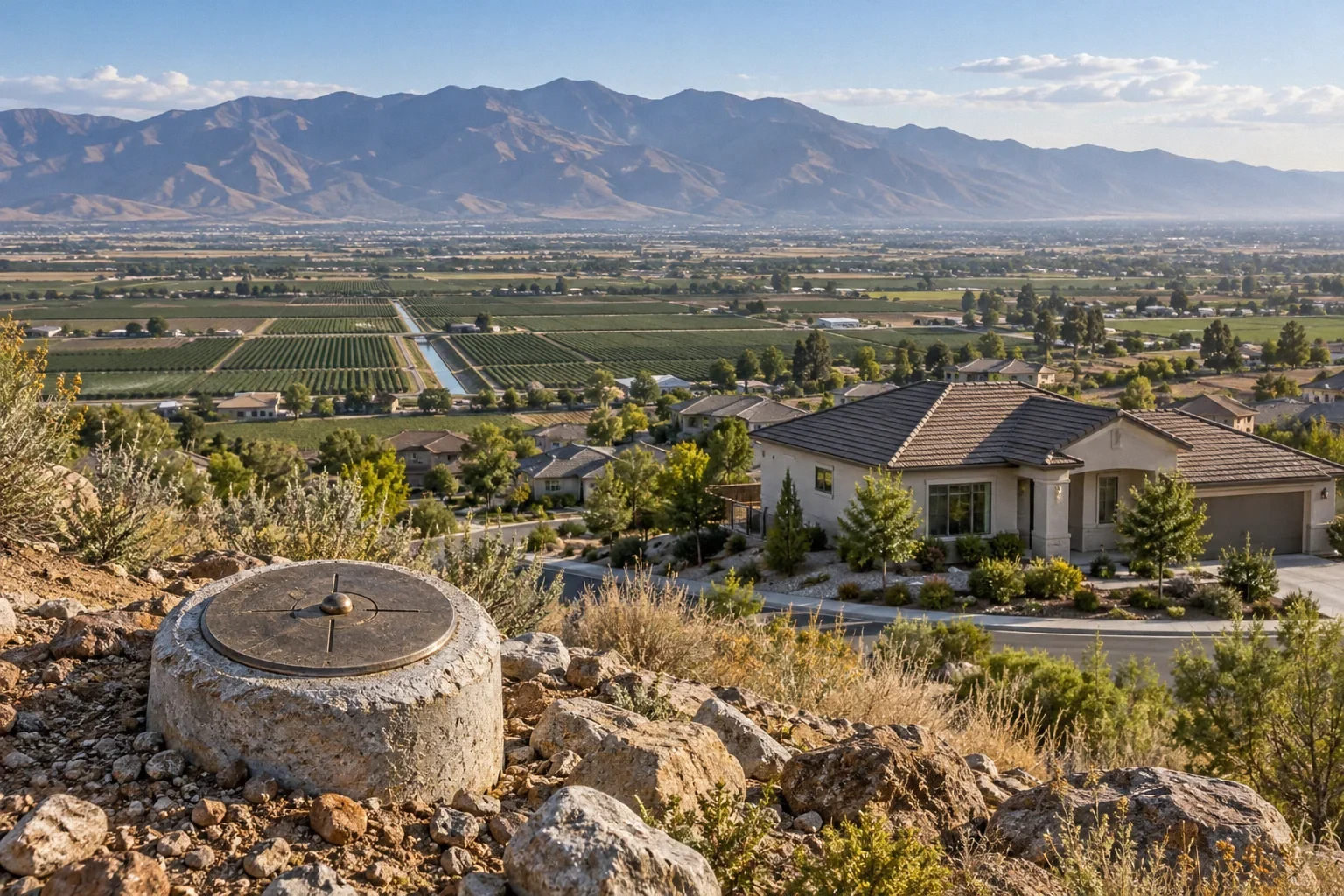
The USDA’s Soil Surveys Can Help You explains how soil surveys support planning by describing characteristics relevant to land use, including water, bedrock and slope conditions. These maps can help an owner understand the broader setting and identify questions to ask. They do not place a boring beneath each footing or reveal every local change in fill and native material.
A map unit can contain variation, and development may alter the ground at a particular property. Imported fill, grading and utility work can create conditions that are not obvious in broad mapping. Ask how regional information was used in the site investigation. A mapped soil description should not be treated as proof that every support beneath the house encounters the same material.
Read a boring log as a record of observations at a location
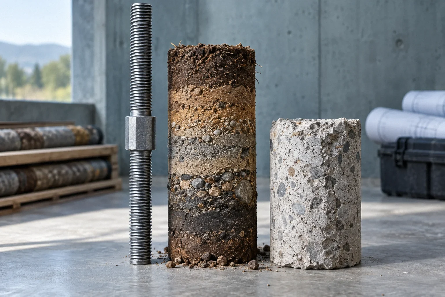
A boring log records the exploration at a particular point and time. Its location, depth, sampling and descriptions help the professional build an interpretation of the site. The log does not make the ground between exploration points visible. Understanding that distinction helps explain why reports state limits and why additional exploration may sometimes be needed.
Compare the exploration plan with the area of concern. A boring near the front of a large property may provide relevant context without fully resolving a problem at a later addition. Ask which observed layers or conditions control the recommendation and how their continuity was evaluated. The answer should connect the records to the proposed foundation work rather than rely on the presence of a technical-looking log.
Distinguish soil classification from engineering behavior
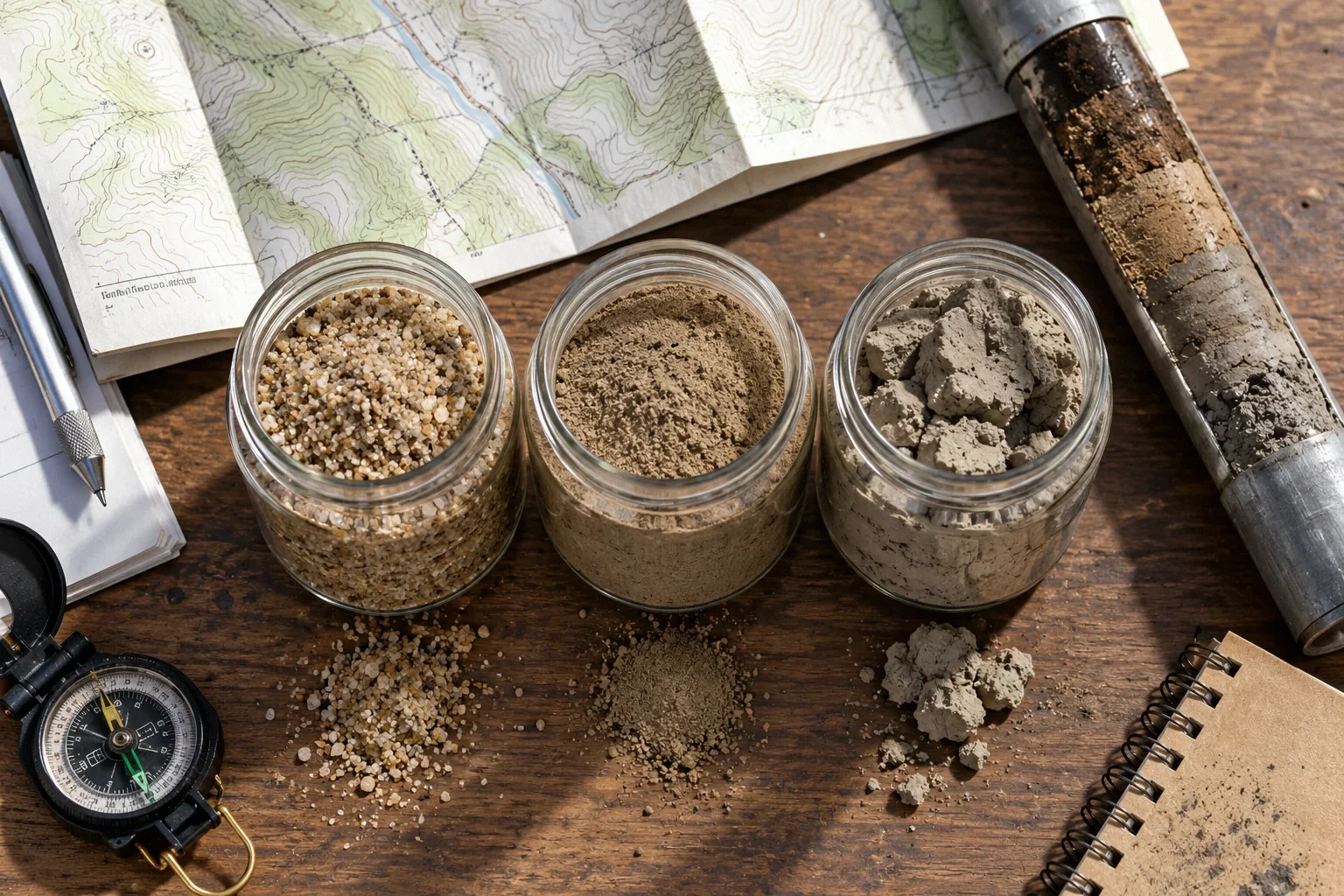
A soil name or classification is not, by itself, a complete account of its strength, compressibility or response to moisture. The relevant tests and interpretation depend on the question. A report concerned with settlement may need different evidence from one focused on expansive behavior, and both may matter on the same property.
The historical Home Construction on Shrinking and Swelling Soils, Special Publication 11 explains how some clay-rich soils swell or shrink with moisture changes and how nonuniform conditions contribute to differential movement. Its value is the mechanism, not a current local design rule. Ask which site-specific evidence supports an expansive-soil conclusion and how that behavior affects the proposed repair. “Clay was found” alone does not select a foundation system or maintenance plan.
Read groundwater observations with their date and limitations
A groundwater observation is tied to when and how it was made. Seasonal conditions, recent weather and other site factors can affect what the investigation encounters. A report that did not observe water at a particular time should not automatically be read as a guarantee that relevant water conditions never occur.
Ask the geotechnical professional how the available observations were interpreted for the project and whether changes since the investigation affect the recommendations. Include known leaks, drainage changes, nearby excavation and unusual wet areas in the history you provide. These observations do not replace professional interpretation, but they can identify a mismatch between the report’s assumptions and the conditions the owner has actually experienced.
Connect test results to the foundation concept and verification
A report becomes most useful when it explains how the evidence informs a decision. For a deep-foundation concept, for example, the relevant questions can include the expected supporting materials, installation assumptions and required verification. A soil description without that connection leaves the owner with data but little understanding of the repair basis.
The Acceptance Procedures for Structural Foundations of Transportation Structures, GEC 15 provides a transportation-focused framework for foundation acceptance, including relationships among site characterization, design, construction records and verification. It is not a residential prescription. Its process is useful when reading a home repair proposal: ask how the geotechnical information influenced the selected concept and what field evidence will demonstrate that the project encountered the conditions on which the design relies.
A hypothetical neighbor’s report that helps but does not decide
Imagine a homeowner whose neighbor shares a report showing shallow fill over denser native material. In this hypothetical example, the information suggests useful questions about the neighborhood’s development history. It does not establish the fill thickness beneath the homeowner’s addition, which may have been built after different grading or utility work.
The geotechnical professional may use the neighboring information as background while deciding what the subject property requires. The owner should preserve the report’s location and date when sharing it, rather than forwarding an isolated recommendation page. Context allows the professional to use relevant evidence without confusing someone else’s investigation with confirmation of conditions beneath the house being repaired.
Ask for a readable interpretation of uncertainty
A useful review explains what is known, what is inferred and what remains important to verify. Ask the author which assumptions could materially change the repair and how those assumptions will be checked. Limitations are not automatically signs of a poor report; they are necessary information for using an investigation honestly.
Keep the complete report with later addenda, revised plans and relevant construction records. A recommendation revised after field observations should remain connected to the original basis. If the project changes, seek an updated interpretation rather than assuming the old report applies indefinitely. The goal is a traceable relationship between site evidence and the actual foundation decision, not a collection of technical pages detached from the work.
Before your next decision
- Check the report’s property, project purpose and date.
- Locate explorations relative to the affected foundation area.
- Separate sampled observations from inferred site conditions.
- Ask how tests support the actual repair recommendations.
- Keep addenda and field verification with the full report.
Related questions
Can I use my neighbor’s soil report for my foundation repair?
It can provide background, but it does not automatically establish conditions at your property. A qualified professional should assess its relevance and determine whether the proposed work requires site-specific investigation.
Does a soil map show exactly what is under my house?
No. Soil surveys describe mapped areas for planning purposes and contain variation. Local grading, fill, utility work and natural changes can require more specific investigation for a foundation decision.
Does “no groundwater encountered” mean water cannot affect the site?
No. The observation has a date, method and exploration limit. Ask how seasonal or changed conditions were considered and whether later leaks or drainage changes affect the report’s conclusions.
Sources & further reading
- USDA Natural Resources Conservation ServiceSoil Surveys Can Help You
Planning-level soils information; not a substitute for parcel-specific subsurface investigation.
- Federal Highway AdministrationAcceptance Procedures for Structural Foundations of Transportation Structures, GEC 15
April 2022 transportation-foundation guide. Transferable concepts only; not residential prescriptive requirements.
- Colorado Geological Survey / American Society of Civil EngineersHome Construction on Shrinking and Swelling Soils, Special Publication 11
October 1978 historical educational text. Use stable soil mechanisms only; exclude dated loss statistics, design dimensions and Colorado rules from California advice.
Homeowner questions behind this article
These discussions informed the questions, not the technical answers. Some were available through indexed excerpts; votes and comments are not an engineering assessment.
- Micropile cost in Colorado?
- Foundation repairs on expansive clay soil
- Utilities in the way of proposed piers
- Abrupt transition to irreversible damage in the overdrafted Sacramento Valley aquifer system